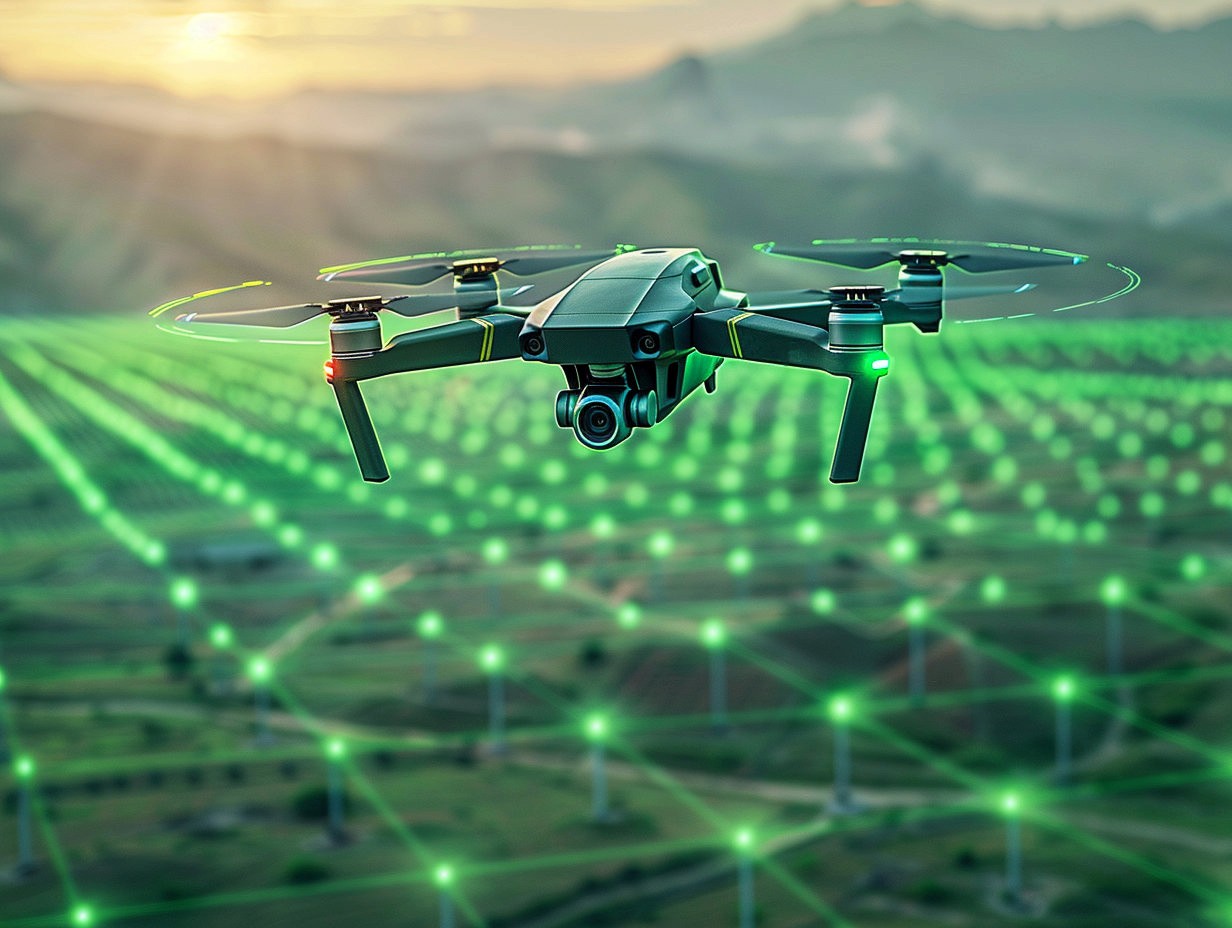
Atlas – SaaS platform to store and AI-process data and telemetry from drones

Role: Lead Product / Principle Designer, UX Researcher.
Short description
ATLAS is an AI-driven digital platform, which helps track construction progress more efficiently, reduce yield losses and preserve crop quality in agriculture, support data-driven decisions in mining by automating object detection, counting and territory segmentation with AI detectors.
Key responsibilities
In this project, I served as the Lead Designer, directly communicating with product owners, our clients, and users of our other related products. I was involved in all stages of product creation, from researching and analyzing competitors, participating in creating CJMs and compiling JTBDs, preparing interactive prototypes, finalizing designs with detailed explanations and screen states for the development team, to establishing our own product design system and supporting development. Additionally, I conducted design reviews and monitored design implementation throughout the process.
My process and responsibilities
Researching key competitors and similar products
Interviewing stakeholders and potential users
Collaboration with product owner and manager to create CJM and JTBD
Directly working on product new features.
Developing the platform's design system, documentation, and descriptions for all components.
Working with devs and QA-team.
Conducting demos for new features and functions.
Preparing design and visual parts of feature requests (documentation in confluence)
Key achievements
Developed the design from scratch to the final product for a highly complex and high-load SaaS platform.
Introduced several new approaches and UX solutions that either became standalone product features or significantly enhanced functionality (such as drone pilot role and dashboard with flight missions and route, intelligent/Smart object selection on the map, etc.).
Created an extensive component library and design system, including intricate components like timeline of changes on the map with convenient snapshot viewing and switching between, AI/ML training tools and flows, and more.
More detailed project description:
Atlas stands as a pioneering SaaS platform, seamlessly blending advanced cloud data storage capabilities with cutting-edge GIS functionalities and immersive 2D and 3D geospatial visualization tools, leveraging LIDAR scanner data for precise point cloud representations. Moreover, Atlas integrates state-of-the-art AI and ML algorithms to recognize, analyze, and forecast insights from drone-acquired data.
Key Features:
Streamlined cloud storage infrastructure, meticulously tailored for telemetry data, featuring project-centric organization, customizable access controls(roles and rights management), and convenient versioning (each map have history of changes –snapshots which can be compared side to side or by overlapping to get accurate difference.
Robust geodata mapping functionalities, harnessing the power of Photogrammetry to craft meticulously detailed terrain maps while efficiently filtering alterations on objects.
Groundbreaking creation of intricate 3D object maps, utilizing advanced point cloud technology.
Dynamic visualization of data streams from diverse drone payloads and sensors, facilitating real-time monitoring of environmental parameters such as methane levels or thermal emissions, leakages etc.
Advanced Analytics:
Atlas empowers users with sophisticated AI-driven analytics, enabling automatic object detection and quantification on Photogrammetric maps. Whether it's identifying vehicles, animals, or infrastructure flaws like road cracks, Atlas delivers actionable insights with unmatched precision.
Applications Across Industries:
From construction project management to precision agriculture and traffic monitoring, Atlas finds its utility across diverse sectors. Experience the transformative potential of Atlas in optimizing operations, enhancing decision-making processes, and unlocking new avenues of exploration in your field.

